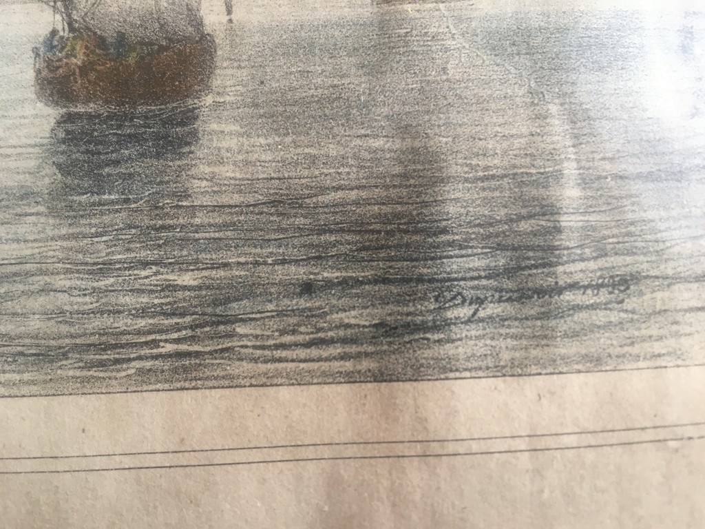
435- GRAVURTA-VUE GENERALE DE LISBONNE
435-VUE GENERALE DE LISBONNE
GRAVURA SECXIX- 1833
MED:- 37,5 X 28 CM
ASSINADA.
€50,00
1 em stock
Produtos Relacionados
470-MAPA-GRAVURA ORIGINAL
€80,00470-MAPA- GRAVURA original- sec. XVIII- CERCA DE 1760
AN ACURATE MAP OF THE MARQUISATE OF MORAVIA
FROM THE SIEUR ROBERT: with improvements
ENGRAVED BY THE KINGS AUTHORITY
FOR THE NEW GEOGRAPHICAL DICTIONAIRY
LONGIT EAST FROM LONDON
G. ROLLOOS SCULP
MED.- 47,5 X 38 CM (moldura)
Printed area is approximately 28.5 by 19,5 cms
Guaranteed to be over 250 years old.
448- GRAVURA-KAMTSCHATKA
€250,00448- KAMTSCHATKA
GRAVURA- SEC. XVIII
VUE DE S. PIERRE E S. PAUL AU KAMTSCHATKA
DESENHO DE BLONDELA
GRAVADO POR MASQUELIER
ATLAS DE VOYAGE DE LA PEROUSE Nº 56 – 1792
GRAVURA Nº 56
DIM:- 65 X 50 CM
PREÇO:-250,00€
LA PEROUSE, Jean François Galaup de (1741-1788).
Published by [Paris: Imprimerie De La Republique, 1797]. (1797)
About this Item: [Paris: Imprimerie De La Republique, 1797]., 1797. Atlas volume only. Folio (17 2/8 x 11 6/8 inches). Engraved title-page, portrait, large folding world map, folding map of the Pacific, 29 double-page and or folding maps and charts, and 40 engraved coastal profiles and views (lacking engraved half-title, some light soiling, browning and spotting, a few plates close-cropped). Contemporary half calf, mottled boards (spine lacking, worn). First edition. The voyage of La Perouse is “one of the most important scientific explorations ever undertaken to the Pacific and the west coast of North America. In 1785 this expedition sailed from France with La Perouse in command of two frigates; he captained the “Boussole”, while her sister ship, the “Astrolabe”, was captained by Paul-Antoine Langle. The charge to the expedition was to examine such parts of the region as had not been.